Location
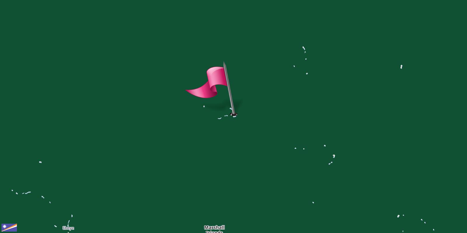
Marshall Islands is a country located in Micronesia.
| Continent: | Oceania |
|---|
| Region: | Oceania |
|---|
| Sub Region: | Micronesia › East Asia & Pacific |
|---|
| Area: | 181.43 Square Kilometers 112.76 Square Miles |
|---|
| Share of world land: | 0.000122% |
|---|
| Share of Oceania land: | 0.002128% |
|---|
| Geographic Coordinates: | 9°49'N, 169°17'N |
|---|
| Latitude: | 9.82 |
|---|
| Longitude: | 169.29 |
|---|
Share of world land
Share of Oceania land
The countries border Marshall Islands
Marshall Islands shares its borders with 4 neighbouring countries.Those countries are listed in the table below with their direction from the center of Marshall Islands.
 Marshall Islands