 Tanzania
| Local Name: | ENUnited Republic of Tanzania SWJamhuri ya Muungano wa Tanzania |
|---|---|
| Capital: | Dodoma |
| ISO2: | TZ |
| ISO3: | TZA |
| Emoji: | 🇹🇿 |
| Population: | 72,029,089 |
| Languages: | EN English with another 1 languages |
Location
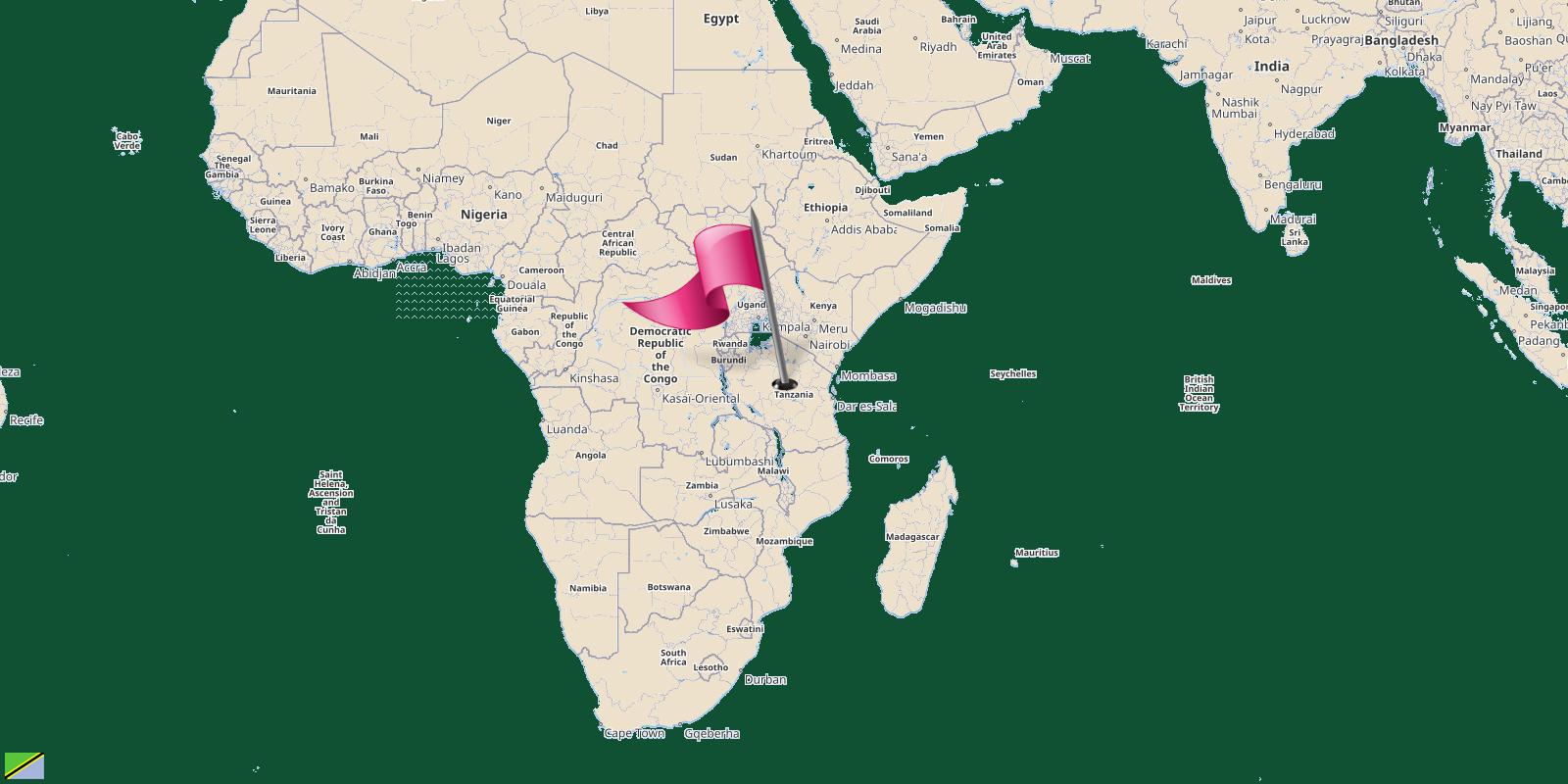
Tanzania is a country located in Eastern Africa.
| Continent: | Africa |
|---|---|
| Region: | Africa |
| Sub Region: | Eastern Africa › Sub-Saharan Africa |
| Area: | 947,303.00 Square Kilometers 588,752.64 Square Miles |
| Share of world land: | 0.638663% |
| Share of Africa land: | 3.119206% |
| Geographic Coordinates: | 6°18'S, 34°51'N |
| Latitude: | -6.306944444 |
| Longitude: | 34.853888888 |
Share of world land
Share of Africa land
The countries border Tanzania
Tanzania shares its borders with 9 neighbouring countries.Those countries are listed in the table below with their direction from the center of Tanzania.
| Border Country | Degree | Direction |
|---|---|---|
| Malawi | 187.16428563325° | South |
| Mozambique | 179.35795799526° | South |
| Uganda | 342.03713420889° | North Northwest |
| Rwanda | 311.32618642841° | Northwest |
| Seychelles | 92.552458231493° | East |
| Kenya | 26.108080342568° | North Northeast |
| Zambia | 221.22694968625° | Southwest |
| Burundi | 297.75300218099° | West-Northwest |
| Democratic Republic of the Congo | 287.07017385346° | West-Northwest |
Cities Of Tanzania
- 🖈Arusha
- 🖈Babati
- 🖈Bariadi
- 🖈Bukoba
- 🖈Dar es Salaam
- 🖈Dodoma
- 🖈Geita
- 🖈Iringa
- 🖈Ishozi
- 🖈Kahama
- 🖈Kandaga, Uvinza
- 🖈Kasanga
- 🖈Kasulu
- 🖈Kibaha
- 🖈Kigoma
- 🖈Koani
- 🖈Korogwe
- 🖈Lindi
- 🖈Mbeya
- 🖈Mkoani
- 🖈Mkokotoni
- 🖈Morogoro
- 🖈Moshi
- 🖈Mpanda
- 🖈Mpwapwa
- 🖈Mtwara
- 🖈Musoma
- 🖈Mwanza
- 🖈Nachingwea, Tan...
- 🖈Njombe Mjini
- 🖈Pangani
- 🖈Shinyanga
- 🖈Singida
- 🖈Songea
- 🖈Stone Town
- 🖈Sumbawanga
- 🖈Tabora
- 🖈Tanga
- 🖈Tukuyu
- 🖈Ujiji
- 🖈Wete
- 🖈Zanzibar City